San Francisco Bay faces coastal flood warning for Thanksgiving week
The National Weather Service forecasts up to 3 feet of inundation in low-lying bayshore areas. Marin County urges residents to avoid unnecessary travel at peak-risk times, while transit agencies prepare service changes.
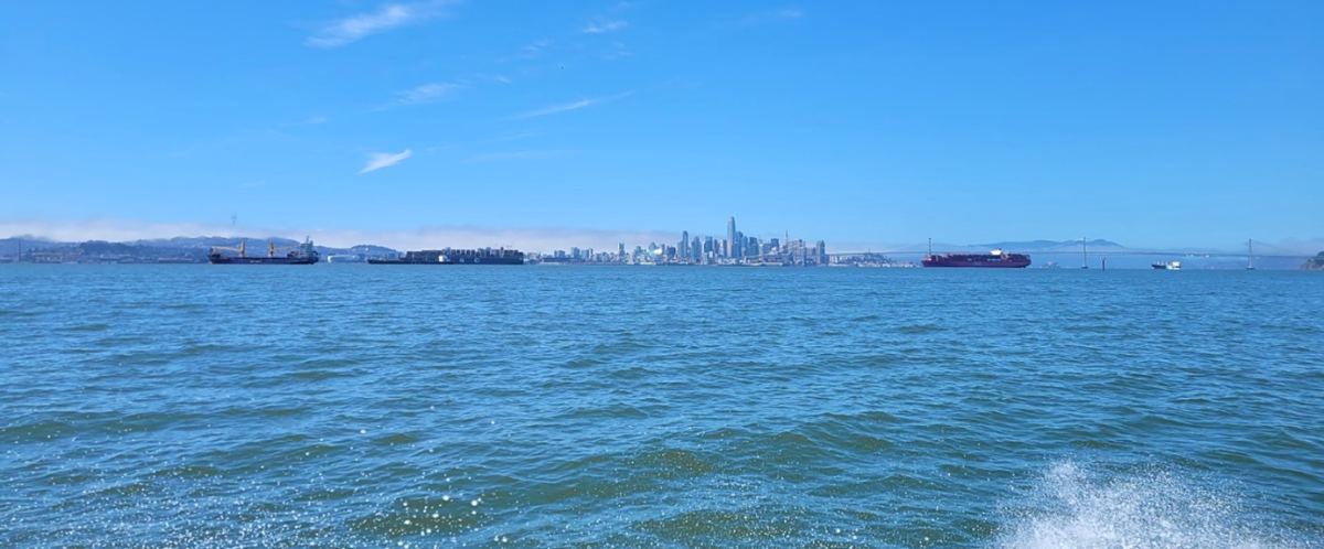
The National Weather Service has issued a coastal flood warning for the San Francisco and San Pablo bay shorelines from 6 a.m. Monday, November 23, until 4 p.m. Thursday, November 26, Pacific Standard Time. Forecasters say up to 3 feet of water above ground level is possible in low-lying areas near shorelines and tidal waterways.
The bulletin, issued Friday afternoon, November 20, also extends the advisory covering the weekend and expands the coastal areas under an advisory. Exceptionally high tides will coincide with another round of rain during Thanksgiving week, raising concerns about road access and travel as people make holiday journeys and visit family.
Marin County officials recommend avoiding nonessential travel between 9 a.m. and 4 p.m. from Tuesday, November 24, through Thursday, November 26, particularly in flood-prone areas. The Golden Gate transportation district is preparing for possible ferry interruptions and bus changes. Final operating decisions will depend on the conditions, rather than on the forecast alone.
The stronger warning begins Monday
Until 6 a.m. Monday, the San Francisco and San Pablo bay shorelines remain under a coastal flood advisory. During that period, up to 2.1 feet of inundation above ground level is possible in exposed, low-lying locations. The warning for more significant impacts takes effect when that advisory period ends on Monday morning.
A separate Pacific Coast advisory runs from 4 a.m. Saturday, November 21, through 4 p.m. Thursday. It covers the coastal North Bay, including Point Reyes; the San Francisco Peninsula coast; Monterey Bay; and the Big Sur coast. It also warns of localized inundation of up to 3 feet in low-lying areas near shorelines and tidal waterways.
The Weather Service expects numerous road closures and erosion in the bayshore warning area, compared with isolated closures in the coastal advisory area. Water and waves can reach farther up beaches than usual, restricting escape routes. The extent of the danger will depend on the elevation and exposure of individual locations, rather than on a uniform depth across the region.
High tide arrives later each day
At the San Francisco tide gauge, the bulletin puts Saturday's high tide at 8:15 a.m., Sunday's at 8:48 a.m. and Monday's at 9:25 a.m. Tuesday's is forecast for 10:05 a.m., Wednesday's for 10:49 a.m. and Thursday's for 11:38 a.m. These are local Pacific times for that reference station.
Wednesday's predicted level reaches 8.8 feet at the gauge. That figure uses the tidal reference MLLW, or Mean Lower Low Water, defined by the National Oceanic and Atmospheric Administration (NOAA) as the average of each day's lower low water over the tidal datum period. It measures water elevation against a technical reference. The 3-foot inundation forecast describes water above the ground in exposed low-lying areas.
The bulletin's estimates include up to 1.8 feet of surge in addition to the astronomical tide. High-tide times can differ by as much as about 90 minutes along the coast and within the bay. NOAA describes king tides as a popular, nonscientific term for exceptionally high tides, rather than a separate category of storm.
More rain is expected this weekend
Friday night's Weather Service forecast calls for another system moving through the region Saturday, spreading from the North Bay into the rest of the Bay Area. Rain would reach the Central Coast overnight into Sunday morning. Showers behind the front could continue through the remainder of Sunday, with conditions varying from place to place.
General rainfall totals for that system are forecast at 0.1 to 0.5 inches. The higher amounts are expected along the coastal ranges, particularly on the Sonoma County coast. Forecasters have not ruled out stronger showers that could increase totals in individual locations, even as the overall rainfall is expected to be lighter than in the preceding days.
Monday should be mainly dry before a more substantial system arrives Tuesday and Wednesday. For that later storm, the Weather Service forecasts rain and possible gusts of 40 to 50 mph along the coast, through exposed gaps and passes, and in the Salinas Valley. Runoff could worsen coastal flooding during the high-tide cycle.
Marin prepares for road and transit disruption
The county warns that a road passable in the morning could become flooded as water levels rise. Tidal flooding can begin up to two hours before peak tide and last more than two hours afterward. Officials recommend adjusting travel plans, checking current conditions and having an alternative route, rather than assuming the usual journey will remain possible.
Golden Gate Ferry anticipates a possible suspension of Larkspur service on Tuesday, November 24, with buses replacing ferry trips to San Francisco. Its plan calls for closing the main parking lot and directing passengers to the overflow lot. A suspension of Tiburon service is also possible. The operator says decisions will be based on operating conditions.
Temporary boarding-gate changes may be needed at Larkspur and San Francisco on Monday, November 23, Wednesday, November 25, and Friday, November 27. Separately, there is no ferry service on Thanksgiving Day under the holiday schedule, and weekend schedules apply Friday. Passengers should check the alerts for their particular route before setting out.
On the bus network, Route 120 could miss some stops along Bridgeway and in Sausalito, Marin City and Manzanita during high tides. Route 580 may take a detour around flooded Richmond ramps while continuing to serve all stops, potentially causing delays. These are anticipated disruptions, rather than an announced shutdown of the entire transit network.
Preparing low-lying properties and routes
Marin identifies historically flood-prone locations including Lucky Drive in Larkspur and Corte Madera, Shoreline Highway and Manzanita, and San Rafael's Canal and Santa Venetia neighborhoods. Coastal communities and parts of Ross Valley may also be affected. The list identifies vulnerable areas; it does not establish that every location will flood during this event.
The county recommends obtaining sandbags early, clearing leaves from drains and gutters, testing sump pumps and moving exposed vehicles to higher ground. Sandbag locations and hours are listed on its emergency management website. Officials also advise having essential supplies ready so that preparations can be completed before rising water makes access or movement more difficult.
The Weather Service urges people to obey barricades and avoid walking or driving through floodwater, which can conceal damaged roads, electrical wires and other hazards. Marin extends that precaution to cyclists and advises keeping children and pets away from the water. Familiarity with a road does not make it safe when a rising tide covers the surface.
AlertMarin and transit service notices will carry updates on roads, weather and operations over the coming days. For people planning Thanksgiving travel, the county recommends adjusting departure times in advance and checking the route again before leaving. That is especially relevant during the higher-risk periods identified from Tuesday through Thursday.