Magnitude 5.0 earthquake recorded near Pinnacles, California
The USGS placed the earthquake about 10 kilometers northwest of Pinnacles at a depth of 6.7 kilometers. The National Tsunami Warning Center said the event posed no tsunami danger.
A magnitude 5.0 earthquake was recorded near Pinnacles, California, at 10:49 p.m. Pacific time on Thursday, November 19, according to the US Geological Survey (USGS). The agency placed the epicenter about 10 kilometers northwest of Pinnacles and estimated the depth at 6.7 kilometers.
The National Tsunami Warning Center issued an information statement two minutes later saying there was no tsunami danger from the earthquake. The message came from NOAA, the National Oceanic and Atmospheric Administration, and concerned the event in California’s Central Coast region.
The earthquake catalog also recorded smaller movements in the same area in the minutes that followed. These measurements help locate the event and track subsequent activity. Conditions in individual communities depend on the local shaking and the vulnerability of buildings and infrastructure.
The epicenter is north of Soledad
The USGS list of nearby communities places the epicenter about 21 kilometers north-northeast of Soledad and 22 kilometers east-northeast of Gonzales. Those references help locate the earthquake inland in California’s Central Coast region.
The precise origin time in the record is 10:49:16 p.m. Thursday, Pacific Standard Time. It was 1:49 a.m. Friday, November 20, on the US East Coast, and 06:49 UTC in the international record.
The USGS marked the earthquake as reviewed, with a magnitude of 5.0 compared with 5.1 in the initial record. The agency can update its parameters as additional measurements become available, including after that initial review.
Depth describes where the rupture began beneath the surface. It is different from the horizontal distance between the epicenter and a community. Both measurements help explain the location, but neither on its own establishes how the earthquake was felt in a particular building.
Magnitude and local shaking describe different things
The magnitude of 5.0 describes the earthquake’s size. Intensity describes its effects at a particular location. The USGS explains that the same earthquake can produce different intensities depending on where someone experiences it.
The agency uses different tools to study that distribution. ShakeMap primarily uses instrumental measurements of ground motion and estimates between recording sites. Did You Feel It?, meanwhile, collects responses from people describing what they experienced.
The record for this earthquake includes both products. A map calculated from instruments and one assembled from public responses may not have the same coverage in the first few minutes. Responses are combined by area, and the results can change as more reports arrive.
These tools help reconstruct the distribution of shaking. Their colors or values do not replace building inspections and do not, by themselves, establish a total for injuries or property damage. The number of responses received is also not a count of everyone who felt the earthquake.
NOAA says the event poses no tsunami danger
The warning center in Palmer, Alaska, published its statement at 10:51 p.m. Pacific time Thursday. It classified the message as a tsunami information statement and explicitly said the earthquake posed no tsunami danger.
The document uses a rapid assessment of the earthquake and notes that its initial parameters may change. It directs readers to the USGS or the appropriate regional seismic network for updated earthquake information.
NOAA’s message addresses tsunami risk. Protection from falling objects, possible structural damage and further ground movement is a separate issue. Local authorities’ instructions and earthquake safety guidance remain relevant to those hazards.
Pinnacles lies in a region shaped by tectonic movement
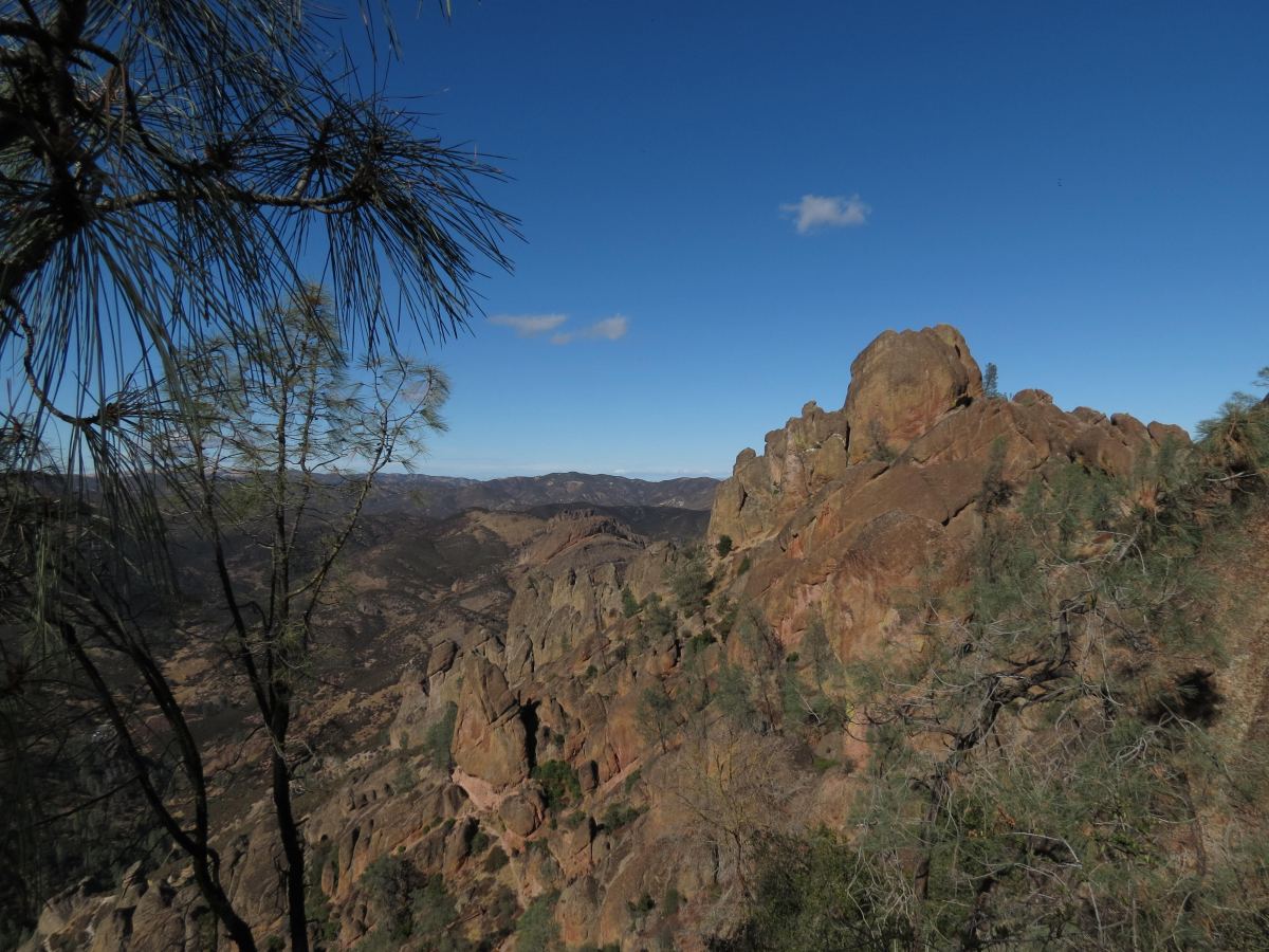
The National Park Service places Pinnacles near the San Andreas Fault, along the boundary between the Pacific and North American plates. The landscape preserves evidence of tectonic movements that have transformed this part of California over millions of years.
The park’s rock formations come from an ancient volcanic field that erupted about 23 million years ago near present-day Lancaster, much farther southeast. The park’s geological account explains that movement along the San Andreas Fault split the formations and carried part of those rocks northward.
That history provides context for the region’s faults and tectonic landforms. For Thursday’s earthquake, the specific information to follow remains the USGS instrumental record and updates from the authorities responsible for the local response.
What to do if more shaking occurs
The Centers for Disease Control and Prevention (CDC) recommend dropping down, taking cover and holding on during an earthquake. If a sturdy table is nearby, protect your head and neck beneath it and hold on until the shaking stops.
For someone indoors, the general advice is to stay inside during the shaking and move away from windows, hanging objects and furniture that could fall. The CDC advises against running outside, using elevators or relying on a doorway for protection.
People outdoors should move to an open area away from buildings, utility poles and wires. For people with limited mobility, the agency describes alternatives such as remaining seated, locking wheelchair wheels and protecting the head and neck with their arms or a suitable object.
If shaking starts while you are driving, the CDC advises pulling over safely, away from poles, overhead wires and overpasses. Set the parking brake and remain in the vehicle until the shaking stops. When it is safe to drive again, watch for possible road damage and other obstacles.
After an earthquake, the CDC notes that aftershocks can occur and recommends repeating protective actions if more shaking is felt. It also advises avoiding damaged buildings and fallen wires, using text messages to communicate when possible and saving phone calls for emergencies.
Local authorities’ notices and safety checks should guide decisions about entering buildings or traveling after the shaking.