Magnitude 4.2 earthquake shakes Los Angeles area near Commerce
USGS placed Friday’s earthquake at 3:25 a.m., at a depth of about 9.6 miles. The National Tsunami Warning Center said there was no tsunami danger from the event.
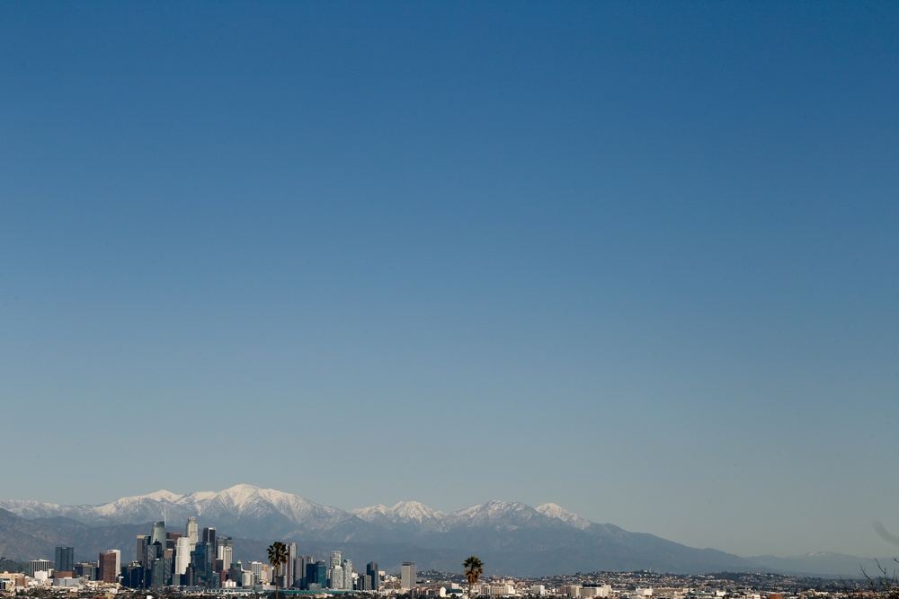
The US Geological Survey revised the magnitude of the earthquake that struck the Los Angeles area early Friday, November 20, to 4.2. Its updated location places the epicenter about one kilometer northwest of Commerce. The earthquake occurred at 3:25:35 a.m. Pacific time, while Southern California was still in the overnight hours.
The agency placed the source at a depth of 15.45 kilometers, or about 9.6 miles. Its list of nearby cities puts the epicenter three kilometers south of East Los Angeles and roughly nine kilometers southeast of the Los Angeles reference point. Commerce is in Los Angeles County.
Public responses quickly reached USGS: during the first hour, the earthquake record passed 10,000 questionnaires submitted through its “Did You Feel It?” program, which gathers accounts of shaking. At 3:27 a.m., the National Tsunami Warning Center issued a statement saying there was no tsunami danger from this earthquake.
Where and when the earthquake occurred
USGS identifies the earthquake as event ci41364111. The catalog lists its location as “1 km NW of Commerce, CA,” at approximately 34.006 degrees north latitude and 118.167 degrees west longitude. That puts it on land within the metropolitan area, near several communities in the southeastern part of the county.
The accompanying city list also places the epicenter three kilometers northeast of Maywood and eight kilometers north-northwest of Downey. These distances locate the earthquake’s source relative to the catalog’s reference points. They do not mark the outer limit of the shaking or establish which individual buildings experienced its effects.
The recorded origin time was 11:25:35 a.m. Friday in Coordinated Universal Time, or UTC, equivalent to 6:25:35 a.m. on the US East Coast. In California, it was 3:25:35 a.m. Pacific Standard Time.
The earthquake record was marked as reviewed. The magnitude displayed to the public was 4.2, calculated using local magnitude, identified by the letters ML. The event file also retains measurements and location solutions supplied by different networks, together with the data used to determine where the earthquake began.
What reports from residents can tell scientists
“Did You Feel It?”, or DYFI, lets residents describe their experience through a questionnaire. Among other things, the system asks whether people felt the earthquake, how they would describe the shaking, and whether objects or furniture moved. Responses are grouped geographically to produce estimates of shaking intensity.
More than 10,000 responses in the first hour indicate substantial participation in that reporting system. The figure counts submitted questionnaires. It is neither a count of everyone who felt the earthquake nor a tally of injuries or damage. USGS cautions that information supplied by users can contain errors.
The agency explains that the effects of an earthquake can vary even over short distances. Ground conditions, building construction and other local factors influence what people experience. Individual accounts and the aggregate result for a community therefore serve different purposes in describing what happened during the shaking.
Magnitude measures the earthquake’s size at its source, while intensity describes its effects at a particular place. In the United States, USGS uses the Modified Mercalli Intensity scale to express those effects. A magnitude number alone cannot establish how every home moved or what happened on each street.
Questionnaires supplement instrumental measurements. The program brings human observations into the maps and helps scientists compare reported shaking with estimated shaking. USGS also asks people who did not feel an earthquake to respond, because those reports help establish the boundary of the area where shaking was perceived.
The official statement rules out tsunami danger
The National Tsunami Warning Center, part of the US National Weather Service, issued its bulletin about two minutes after the earthquake’s origin time. Its assessment was explicit: there was no tsunami danger from this event. The bulletin was an information statement about the earthquake.
The center said its initial parameters came from a rapid preliminary assessment and could change. It referred readers to USGS and the appropriate regional seismic network for subsequent information. It also said it would issue no further message for this earthquake unless additional information made another statement necessary.
Measurements used in an initial assessment can differ from the values ultimately highlighted in an earthquake catalog. USGS explains that the relationship between seismic recordings and magnitude is complex. Different methods can produce slightly different values for the same earthquake, rather than describing separate earthquakes.
The tsunami statement addresses one particular hazard. For residents, determining whether a building is safe or has sustained damage requires information and checks beyond that assessment. Reports of how shaking felt, measurements of the earthquake and emergency instructions each describe a different part of the situation.
How to protect yourself if shaking resumes
The federal Ready.gov guide recommends dropping down, covering your head and neck, and holding on until the shaking stops. If a sturdy table is nearby, shelter beneath it and hold on so you can move with it. People indoors should stay inside during the shaking, avoiding a rush outside or a doorway.
For people in bed, the guidance is to turn face down and protect the head and neck with a pillow. Outdoors, move to an open space away from buildings, trees, streetlights and power lines. People using a wheelchair should lock the wheels and protect their head and neck.
Aftershocks can follow an earthquake. Ready.gov advises being prepared to repeat protective actions if another tremor is felt, moving away from damaged buildings and staying out of them. It also recommends watching for potential hazards, including damaged gas lines and fallen electrical wires, after the shaking has ended.
Once safe, follow instructions from local authorities and use text messages to communicate when possible, the guide says. Keeping a flashlight within reach, securing heavy furniture and agreeing on a family meeting place are practical preparations that can be made before the next earthquake occurs.