High flood risk stretches from Daytona Beach to Melbourne on Friday
Federal forecasters expect more downpours over saturated ground in Brevard and Volusia counties. Brevard public schools are closed November 20, while flood warnings remain in place along the St. Johns River.
Florida’s east coast between Daytona Beach and Melbourne faces a high risk of excessive rainfall and flash flooding Friday, November 20, according to the federal Weather Prediction Center, or WPC. More downpours are moving into an area where the ground is saturated and the swollen St. Johns River is slowing drainage.
The forecast calls for another four to eight inches of rain, approximately 102 to 203 millimeters, in the hardest-hit areas during the period ending at 7 a.m. Saturday, Eastern Standard Time. The most intense bands could produce more than three inches an hour, about 76 millimeters. These are forecast amounts, with substantial differences expected between locations.
Brevard County public schools are closed Friday. The county announced two shelters for residents affected by rising water and urged people to avoid flooded roads. The National Weather Service, or NWS, also maintains flood warnings for several locations along the St. Johns, where water levels could keep rising through the weekend.
Heavy rain moves along an already saturated coast
The WPC discussion issued at 3:27 a.m. identifies central and northern Brevard as the greatest immediate concern. A band of storms could persist there into the middle or latter part of Friday morning before shifting slowly toward southern Volusia during the afternoon, according to the forecast.
The center cites reports of six to twelve inches of rain, roughly 152 to 305 millimeters, at various locations in Brevard over the preceding 36 hours. That earlier rainfall aggravates the risk from another round of flooding. Water has fewer opportunities to drain with the ground soaked and the river already high.
The NWS Melbourne office maintains a High risk, level four of four, for excessive rainfall along the Brevard and Volusia coasts. Risk categories are lower farther inland and to the south, although flooding remains a threat. A flood watch continues into Friday evening for the areas covered by the office’s advisory.
Daytona Beach recorded 5.36 inches of rain Thursday, November 19, or about 136 millimeters. The NWS record report issued at 2:30 a.m. Friday says that exceeded the previous daily record for November 19: one inch, approximately 25 millimeters, set in 1986.
St. Johns River flooding extends the danger
River flood warnings cover Cocoa, Geneva, Astor, DeLand and Sanford. NWS says exceptional rainfall over the upper basin in previous weeks continues to feed the river. Additional downpours are adding to that process and can sustain flooding after local rainfall begins to ease in the affected communities.
At the St. Johns gauge west of Cocoa, a bulletin issued at 3:10 a.m. reported a reading of 18.6 feet at 2:15 a.m. The river was in Major flood stage, with a forecast crest of 18.7 feet. The same statement described water levels above the previous record.
At Astor, the 5:21 a.m. statement reported a stage of 3.6 feet at 4:30 a.m., within the Moderate flood category. NWS forecasts a rise to four feet Tuesday, November 24, reaching Major flood stage. Those heights are measured against the reference level used by each individual gauge.
The Astor warning says a four-foot stage brings water into many structures along canals and the river and makes several roads impassable. It also warns that long-duration flooding could take weeks or months to fall below flood stage. Authorities urge drivers not to go around barricades or attempt to cross water-covered roads.
Schools close and two shelters open in Brevard
In its 7 p.m. Thursday update, Brevard County confirmed that all Brevard Public Schools campuses would be closed Friday, November 20. The closure affects the school day as flooding continues and forecasters expect more rainfall along the coast, adding to the disruption for families across the county.
The update lists two shelters: Walter Butler Community Center, 4201 N Cocoa Boulevard in Cocoa, and Joseph N. Davis Community Center, 2547 Bruce D. Buggs Street in Melbourne. Both were announced for the general population, people with special medical needs and families who want to bring pets.
The county asks people going to a shelter to bring their own supplies, including bedding, medication, changes of clothing and personal hygiene items. Community information is available by calling 2-1-1. Residents are also encouraged to keep emergency alerts enabled on their phones and have several ways to receive warnings.
At 6:20 a.m. Friday, the county shared a Department of Transportation advisory announcing the closure of State Road 46 between Mims and Sanford in both directions because of the rising St. Johns River. It also confirmed that county offices would remain closed to the public Friday because of flooding and unsafe driving conditions.
Wind and dangerous surf accompany the rain
The Melbourne office forecasts gusts of 35 to 40 mph, approximately 56 to 64 km/h, in parts of coastal Volusia and northern Brevard. The wind advisory for those areas runs until 7 a.m. Saturday. A high surf advisory continues until 7 p.m. that day, with dangerous rip currents and a risk of beach erosion.
At 7 a.m. Friday, the National Hurricane Center, or NHC, placed a broad low-pressure area near the east coast of central Florida. It assigned a 30% chance of subtropical or tropical development within 48 hours and a 50% chance over seven days as the system moves north or north-northeast.
NHC forecasts strong winds, dangerous surf, rip currents and coastal flooding along portions of the southeastern and mid-Atlantic US coasts into early next week. Heavy rainfall could also shift toward the coastal Carolinas during the weekend as the weather system continues its progress along the country’s eastern seaboard.
For Florida, WPC expects conditions to improve gradually Saturday as the system pulls away. High water along the St. Johns will continue to shape recovery in flooded communities. Decisions about travel, shelters and returning home should follow local instructions and the changing river forecasts and warnings.
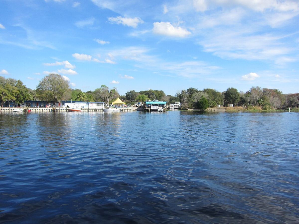
Archive photograph by Leonard J. DeFrancisci: original file, licensed under CC BY-SA 3.0. Resized and compressed for the web.