Category 3 Hurricane Trudy threatens Mexico’s Pacific coast as Guerrero closes schools
With sustained winds of 120 mph, Trudy could strengthen before approaching Mexico’s coast over the weekend. Authorities warn of heavy rain, dangerous seas and possible flooding.
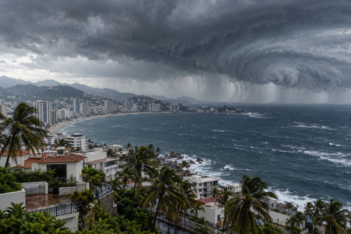
Hurricane Trudy has put Mexico’s Pacific coast on alert after reaching Category 3 strength, while Guerrero state closed schools for Friday, October 16, to reduce travel amid the threat of heavy rain. At 6 a.m. Mexico City time, or 8 a.m. EDT, the storm had sustained winds of 120 mph (195 km/h) and was about 240 miles (385 kilometers) southwest of Acapulco, according to Mexico’s National Meteorological Service, known as the SMN.
The storm was moving northwest at about 6 mph (9 km/h). Its overnight intensification raised concern ahead of a weekend when it could pass close to the coasts of Michoacán, Colima and Jalisco. The forecast track calls for preparations both in coastal communities and in inland areas exposed to flooding and landslides.
A dangerous approach over the weekend
In its intermediate advisory issued at 12:00 UTC —6 a.m. in Mexico City and 8 a.m. EDT— the U.S. National Hurricane Center (NHC) forecast that Trudy would approach the coast on Saturday, October 17, and pass near it from Saturday night into Sunday, October 18. It expected further strengthening, with Trudy remaining a major hurricane at its closest approach.
Mexico’s forecast calls for the storm to reach Category 4 before that approach. That is a forecast: Trudy was still a Category 3 hurricane at Friday morning’s observation time. No landfall location has been established. How close the center comes to shore, and the conditions developing around it, will determine which communities experience the strongest winds.
A hurricane watch covers the stretch from Punta San Telmo in Michoacán to Cabo Corrientes in Jalisco. A tropical storm warning extends from Zihuatanejo in Guerrero to Manzanillo in Colima. The alerts carry different meanings: a watch indicates that the specified conditions are possible, while a warning means they are expected within the affected area.
According to the NHC, tropical-storm-force winds could begin in the warning area late Friday night or early Saturday. Hurricane conditions are possible later on Saturday in the watch area. That lead time explains the advance preparations for public services and shelters.
No U.S. landfall in the current forecast
The NHC’s five-day track forecast available Friday morning keeps Trudy’s center off western Mexico and well south of the United States. It does not forecast a U.S. landfall during that period. All hurricane watches and tropical storm warnings listed in the 8 a.m. EDT advisory apply to Mexico.
That assessment is not a guarantee against every possible indirect effect. The bulletin identifies wind, rainfall and storm-surge threats in Mexico; it does not identify a U.S. area expected to experience those impacts from Trudy. Forecasts will need to be checked as the storm develops.
Rain extends the threat beyond the coast
For Friday, the SMN forecasts 75 to 150 millimeters of rain —roughly 3 to 6 inches— in parts of Guerrero and Oaxaca. It expects 50 to 75 millimeters, or about 2 to 3 inches, in Michoacán. These are forecast daily totals, with substantial differences between communities, rather than measurements of rain that has already fallen.
The rainfall could cause rivers and streams to rise, trigger flooding and landslides, and reduce visibility on roads. The national forecast also calls for waves of 4 to 5 meters, or approximately 13 to 16 feet, along the coasts of Guerrero and Michoacán. For boats and coastal communities, dangerous seas add a threat that can arrive before the storm makes its closest approach.
The weekend forecast covers a longer period. The NHC expects roughly 100 to 200 millimeters of rain, or about 4 to 8 inches, in parts of Michoacán, Colima and Jalisco, with isolated totals near 300 millimeters, or 12 inches. It warns of potentially life-threatening flooding and landslides, particularly on steep terrain.
A hurricane’s category describes its maximum wind strength, but not its full potential to cause damage. The U.S. National Oceanic and Atmospheric Administration (NOAA) notes that rainfall flooding and storm surge can threaten communities far from the center. The forecast cone shows the center’s probable path; its boundaries do not mark the limits of the storm’s impacts.
Guerrero limits travel and prepares shelters
The school suspension announced by Guerrero’s education authorities covers academic and administrative activities at public and private schools on Friday, across all regions of the state and both morning and afternoon school shifts. Reporte Índigo reported the Education Secretariat’s announcement, which also asked schools to make their buildings available as temporary shelters if needed.
The state government also suspended administrative work, although operational security and civil protection teams remain on duty, according to local press reports. The measure aims to avoid unnecessary travel as the storm unfolds.
Preparations began before Trudy reached its current intensity. On October 14, Governor Evelyn Salgado placed the State Civil Protection Council in continuous session and announced that response teams, machinery and shelters were available. The government said then that 15,727 members of the Army, Air Force and National Guard were ready to support the response. That preparedness deployment is not a count of people evacuated.
Guerrero’s judiciary also announced a suspension of work for Friday, with electronic procedures to handle urgent matters, according to Quadratín. The disruption shows how preparations are already affecting daily life while the hurricane remains offshore.
In the coming hours, residents will need to follow updated official alerts and instructions from local civil protection authorities. NOAA advises people to heed evacuation orders and avoid crossing flooded areas. In Guerrero and the states farther northwest, the priority is to use the time available before deteriorating weather makes travel more difficult.