Southeast Florida remains under flood watch after overnight storms soak southern Broward
The National Weather Service’s flood watch continues through Thursday evening for Miami-Dade, Broward and Palm Beach counties. Coastal hazards have separate timelines, with dangerous rip currents forecast through Friday.
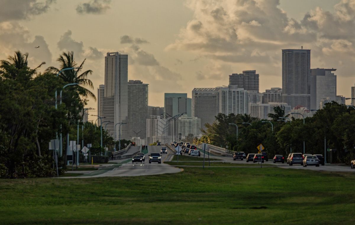
Southeast Florida faces more rounds of heavy rain after overnight thunderstorms brought radar-estimated rainfall of 8–11 inches to parts of southern Broward County. A National Weather Service flood watch covers Miami-Dade, Broward and Palm Beach counties and remains in effect until 7 p.m. Thursday, November 19.
The watch, updated at 2:21 a.m. Wednesday, warns of possible flash flooding and water accumulating in urban areas and places with poor drainage. More rain is forecast Wednesday and Thursday, with substantial differences possible from one community to another. In its discussion updated at 6:20 a.m., the weather service reported ongoing flash flooding in parts of southeast Florida and a continued risk over the coming days.
Coastal communities face additional hazards. High surf advisories have different end times in Broward and Palm Beach, while a high risk of rip currents continues through Friday evening at beaches in those counties and Miami-Dade.
Southern Broward received heavy overnight rainfall
At 12:42 a.m. Wednesday, November 18, the weather service extended a Flash Flood Warning for southern Broward through 2 a.m. Radar at the time indicated 8–11 inches of rain, equivalent to about 203–279 millimeters, within the warned area.
The bulletin listed Fort Lauderdale, Hollywood, Hallandale, Dania Beach and West Park among the affected communities. It warned of life-threatening flooding in streets, underpasses, highways, creeks and other urban locations.
Those totals are radar estimates for that area at the time of the bulletin. Conditions vary between neighborhoods and as storms move through. Authorities advise people making travel decisions to follow local alerts and instructions from emergency services.
The broader flood watch, updated afterward at 2:21 a.m., covers inland, metropolitan and coastal sections of all three counties. All times in this article are Eastern Standard Time.
A stalled boundary supports more storms
Forecasters describe a combination of low pressure over the Gulf and an atmospheric boundary lingering across the Florida peninsula. In its discussion issued at 12:53 a.m. Wednesday, the weather service said that pattern was maintaining a plentiful supply of moisture over South Florida.
Storms could move repeatedly across the same locations, particularly near the Atlantic coast. Although rainfall eased for a time overnight, the forecast continues to support additional periods of heavy rain.
The watch forecasts another 2–4 inches through late Thursday, or roughly 51–102 millimeters. Harder-hit areas could receive 6–8 inches, about 152–203 millimeters, with isolated totals exceeding 10 inches, or approximately 254 millimeters.
Some storms could produce rainfall rates of 1–2 inches an hour, equivalent to about 25–51 millimeters. Such downpours can deliver a substantial share of the expected rain within a short period, increasing the pressure on drainage in the locations underneath them.
Where the heaviest rain falls will depend on how the low-pressure systems and boundary evolve. Forecasters have less confidence in Friday’s outlook, when heavy rain could continue before drier air arrives over the weekend.
Drainage is part of local preparations
The watch identifies a risk of excessive runoff into creeks and other low-lying areas. It also warns that flooding may develop in urban locations and places where water drains away slowly.
Crews in Broward have been clearing storm drains ahead of additional rain, NBC 6 reported. The station also documented the installation of flood sensors in Fort Lauderdale to monitor conditions in real time.
The project described by NBC 6 calls for ten sensors across the city. They are intended to help officials anticipate problems and issue earlier warnings. Their installation is part of the local preparations during a week of persistent rain.
For residents, the immediate conditions along a route matter. A low-lying street, underpass or poorly drained access road may collect water even when nearby roads look different. The weather service urges people to remain aware of their surroundings and avoid flooded roads.
High surf and rip currents threaten beaches
The coastal bulletin updated at 2:20 a.m. Wednesday forecasts breaking waves of 6–11 feet in Palm Beach County, or about 1.8–3.4 meters. Its High Surf Advisory remains in effect until 7 a.m. Friday, November 20.
Broward’s advisory forecasts breaking waves of 6–10 feet, about 1.8–3 meters, and runs through 7 p.m. Thursday. The weather service warns of dangerous swimming and surfing conditions, as well as possible localized beach erosion.
Rip currents pose an additional danger. They can pull even experienced swimmers away from shore and into deeper water. The high risk continues through 7 p.m. Friday for beaches in Palm Beach, Broward and Miami-Dade counties.
The weather service advises anyone caught in a rip current to stay calm, float and avoid swimming against it. It also urges beachgoers to follow lifeguards’ instructions and stay out of the water when conditions exceed their swimming ability.
Preparing for the next downpour
A flood watch means conditions are favorable for flooding and people should prepare. A Flash Flood Warning calls for action because flash flooding is imminent or already happening. The weather service advises people in threatened locations to move to higher ground and follow evacuation orders immediately.
Drivers should respect barricades and avoid roads covered by water. Floodwater may be deeper than it appears and can conceal damaged pavement, electrical wires and other obstacles. People should also avoid walking through floodwater.
Electrical safety becomes another concern when water reaches outlets or appliances. The agency advises staying away from water that may be electrified and seeking help from emergency services when necessary.
Southeast Florida’s flood watch continues through Thursday. Updated forecasts and local warnings will show where new rainfall is concentrating and what residents in each affected area need to do as conditions change.